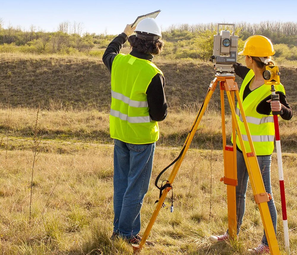
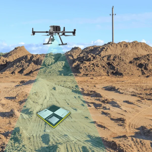
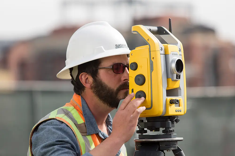
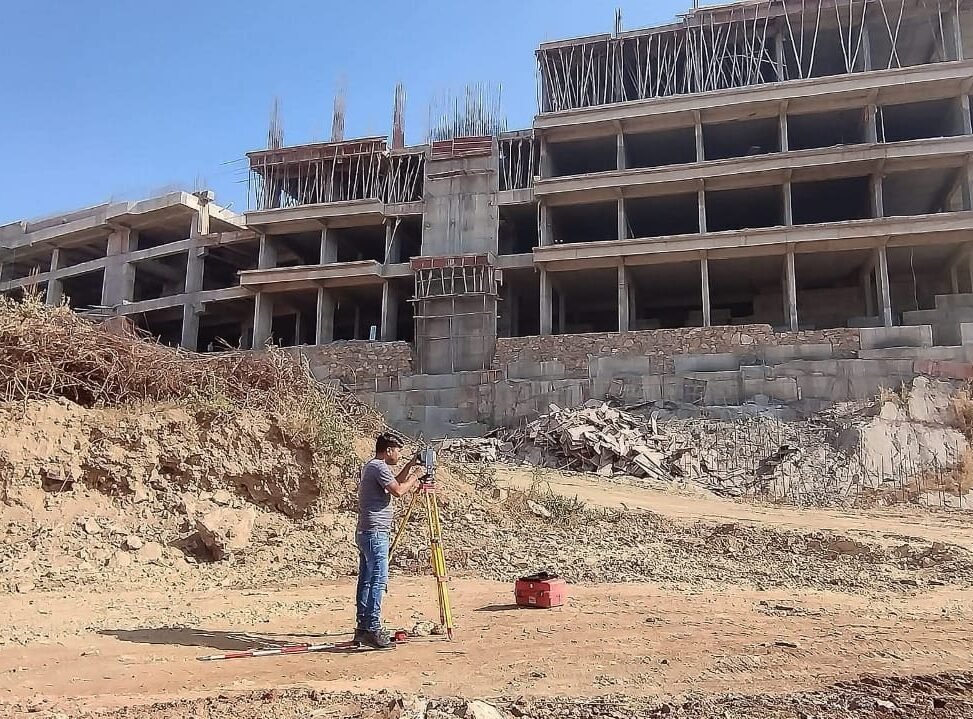
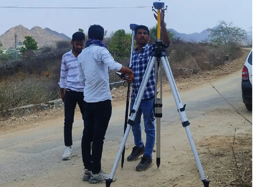
The Perfect Destination For
Accurate Land Surveying

Our Services

Delivering accurate and reliable surveying solutions with advanced technology.

Land Survey

We offer precise land survey services using advanced equipment, ensuring accurate measurements for planning, legal documentation,

Drone Survey

Rachit Surveyor offers precise Drone Survey services for land mapping, construction, and project monitoring. We ensure fast, accurate, and cost-effective result

Countour Survey

Rachit Surveyor offers accurate Contour Survey services to map land slopes and elevations. Our advanced technology ensures reliable data for safe and efficient project planning.

DGPS Survey

High-accuracy Differential GPS survey for land measurement, boundary marking, and layout. Ideal for infrastructure and mapping.

Road Survey

Road survey for precise land mapping, alignment planning, and project monitoring. Fast, accurate, and cost-effective.

UIT / UDA Conversion

Accurate survey services for UIT land conversion, providing reliable mapping and documentation for safe project planning.

Where Precision Matters, and Surveys Shape the Future

From precise measurements to accurate land surveys, we turn your ideas into reality with dedication and expertise

Land Survey

Providing precise land measurements and accurate boundary identification to support planning and legal requirements.

Stackout Survey

Delivering accurate site marking to ensure reliable construction layouts and error-free project execution.

Drone Survey

Conducting high-accuracy aerial surveys with detailed mapping for large and complex sites.

UIT Conversion Mapping

Offering trusted mapping solutions that simplify documentation and ensure smooth UIT conversion processes.

Explore our comprehensive land surveying services

We bring your projects to life through accurate, reliable, and professional land surveying.
Our work blends precision with expertise — crafted with dedication and trust

Topographic Survey

Construction

Residential Design

Boundary Surevy

As- Built Survey

Setting Out Survey

Leveling Survey

Accurate Surveys for Every Need

We provide specialized surveying solutions including DGPS, Total Station, Landscape, and Stackout surveys. From accurate measurements to detailed mapping, our expertise ensures reliable planning and flawless site layouts.

Project Management Consultancy

High-accuracy Differential GPS survey for land measurement, boundary marking, and layout. Ideal for infrastructure and mapping.

Total Station Survey

Accurate survey using advanced instruments to measure distance, angles, and elevation. Ideal for construction layouts and boundary mapping.

Landscape Survey

Detailed mapping of terrain, slopes, and natural features. Perfect for landscaping, urban planning, and development projects.

Stackout Survey

On-site marking of grids, points, and alignments. Ensures construction follows the approved plan with precision.

Architectural Design

Architectural design plans and creates functional, aesthetic structures, balancing client needs, safety codes, and environmental factors.

Interior Design

Interior design enhances indoor spaces by arranging furniture, colors, and materials to create functional and visually pleasing environments.

Town Planning

Town planning designs urban areas by integrating architecture, infrastructure, and public spaces for functional, sustainable, and community-focused development.

Detail Project Report

A Detailed Project Report outlines objectives, design, costs, and strategies, guiding successful execution in architecture and construction.

Why Choose Us

We are Best in

We specialize in accurate measurements, advanced surveying methods, and timely project delivery ensuring results you can rely on

With years of expertise in land surveying, we take pride in delivering accurate, reliable, and professional solutions. Our commitment to precision and trust ensures every project is completed with excellence.

Project That Define Us

We showcase our completed and ongoing projects that reflect precision, innovation, and trust.
Each project highlights our expertise in delivering accurate and reliable surveying solutions.

Understanding Property
Boundaries
with Precision

Accurate property boundary analysis is essential for legal clarity, construction planning, and avoiding land disputes. Our expert surveyors use modern tools to identify, mark, and document property lines with precision. Whether for residential, commercial, or industrial use, we ensure every inch of your land is clearly defined and legally compliant.

Our Client

What Our Customer's Say