Land survey
Comprehensive Land Surveying Solutions

Land Survey
Land surveying is the process of measuring and mapping land features, boundaries, and structures. Conducted by trained professionals using tools like GPS and total stations, it provides accurate data for maps, legal documents, and planning. This information is crucial for landowners, developers, and government agencies in real estate transactions, construction, and other land-related projects
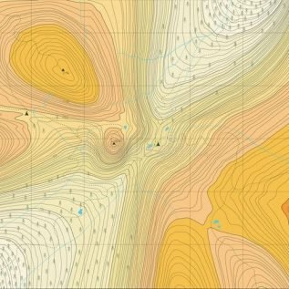
Contouring
Contouring is a land surveying method used to represent terrain elevations on a two-dimensional map. It uses contour lines to connect points of equal height, illustrating the shape and slope of the land. These lines help identify features like hills, valleys, and ridges, making contouring essential in surveying, engineering, and geographic planning.

Khasra Milan
Khasra Milan is an Indian land survey process that reconciles official land records with actual ground boundaries. "Khasra" denotes the land parcel in records, while "Milan" means matching. This process helps maintain accurate land data, resolve boundary disputes, and prevent fraud. It’s conducted by government authorities and is crucial for land ownership, taxation, and planning.
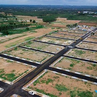
Plan Demarcation
Plan demarcation involves physically marking property boundaries as per the registered survey plan. It ensures landowners have a clear understanding of their plot’s exact size and location. This process helps avoid future disputes, supports legal documentation, and provides confidence during construction or land development activities by confirming that the land is correctly and officially identified on site.

Drone Survey
Drone photography captures aerial images of the earth’s surface for surveying, mapping, land use planning, and environmental assessment. Vertical aerial photos provide a top-down view, while oblique shots offer angled, panoramic views of the landscape. This technology delivers high-resolution visuals, enhances spatial analysis, and supports accurate documentation for various planning and development projects.
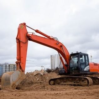
Volume Measurement
This surveying process calculates the volume of soil to be cut or filled for construction projects like roads, bridges, or housing. Surveyors record ground elevations at regular intervals to create a topographic map. Based on this data, they determine how much soil needs to be moved to shape the land according to the required design and levels.
